Singapore Park Connector Network: A Cyclist's Guide
NParks counts over 350 km of park connectors linking Singapore's parks, rivers and coasts. Here is how the network works for a cyclist: which paths you may ride, which you may not, how fast, and which guided tours already use it.
Short answer
The Singapore park connector network links over 350 km of paths between parks, reservoirs and coasts. Shared paths carry a 25 km/h limit, segregated footpaths 10 km/h, and since 1 July 2025 bicycles are barred from converted Pedestrian-Only Paths. Guided rides on the network start from $47 per person.
Ride any distance in Singapore and you will meet a red line. Sometimes it is continuous, sometimes dotted, sometimes stamped with a cyclist logo. That line is the grammar of the park connector network, the web of cycling paths that NParks says now runs to over 350 km, tying parks, reservoirs, rivers and coasts into one system you can ride end to end without touching a road if you plan it well.
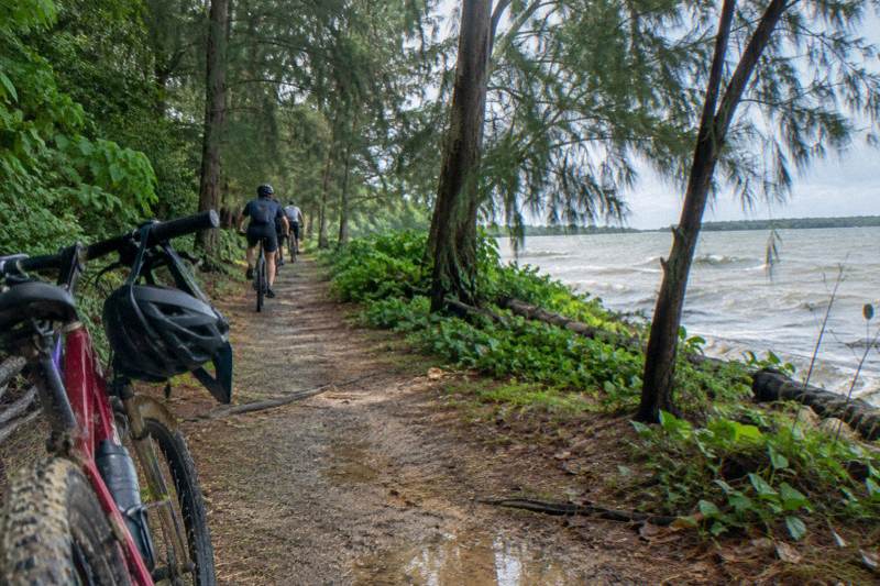
For visitors the network is the quiet reason Singapore works as a cycling city. The Marina Bay waterfront, the Eastern Coastal Loop out to East Coast Park, the riverine routes through Punggol and Sengkang: these are connector paths, not back streets. Operators have noticed. The 5-Hour Nature Ride from The Cycle Startup spends most of its five hours on exactly these riverside connectors around Punggol, from $84.04 per person with bike and helmet included, and it is rated 5.0 across 37 reviews.
This guide covers what the network is, how to read its markings before you set off, where cycling is off limits, what the law expects of you, and which tours ride it. It runs alongside the broader cycling routes across Singapore page, which lists full-day route plans, and it borrows heavily from Singapore Bike Tours reporting on the tours themselves.
What Is The Singapore Park Connector Network?
The park connector network is a planned system of car-free paths linking Singapore's green spaces into one rideable whole, over 350 km long by NParks' own count, with a red-line path language that tells each user where they belong. It exists so a cyclist can travel between parks without competing with traffic, and its rules and markings are consistent from Changi to Jurong.
The idea is simple: parks in Singapore are scattered, and a visitor who wants to see several in a day would otherwise need roads or transit between each one. The connectors close those gaps. A corridor along a canal becomes a path. A stretch of disused railway land, as on the Rail Corridor, becomes a green route. An esplanade beside the coast becomes a spine for a whole eastern loop. NParks builds and maintains them, and its path typology page is the single best reference for the markings described below.
The network also feeds the Round Island Route, a planned 150 km continuous connector of which the 75 km eastern Phase 1 is already open. The Round Island Route guide covers that project in depth. For most visitors, though, the connectors near the city are the ones they will actually ride, and the ones most guided tours use.
A word on scale. The number to remember is 350: NParks states the network at over 350 km, and that is the figure used here. The network is not finished, and it is not static. Sections close for months at a time for drainage works, MRT construction or trail upgrades, which is why the map question matters so much.
Park Connector Map Singapore: How To Read It Before You Ride
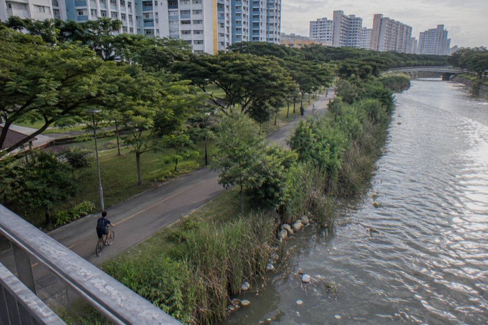
Read the map in two layers: which loop or connector a path belongs to, and what its red lines say about who rides it. MyTransport.SG carries a cycling-route layer, NParks publishes loop and connector pages, and the lines on the ground repeat the same language. If a path has a continuous red line, expect shared use at 25 km/h; if the red line dots, slow down for an Attention Zone.
The first layer is the route network. The connectors are grouped into named loops: the Eastern Coastal Loop linking Pasir Ris down to East Coast Park, the 36 km Central Urban Loop, the 26 km North Eastern Riverine Loop, and so on, plus individual corridors like the Kallang connector that reach the city core. The Kallang Park Connector cycling guide covers the urban stretch in detail. Pick a loop that matches the day you have: a riverine loop from Punggol is a different ride from a coastal loop past Changi.
The second layer is path type, and it decides your speed and your obligations. NParks' markings are consistent:
| Marking | Path type | Who rides it | Speed expectation |
|---|---|---|---|
| Red continuous line, cyclist logo | Cycling path | Cyclists and faster PMD users | Up to 25 km/h |
| Cyclist and pedestrian logos together | Shared path | Cyclists and pedestrians together | Up to 25 km/h, give way |
| Red dotted line ahead | Attention Zone | Everyone, slowed | Bus stops, crossings, playgrounds |
| Red line with "PCN" imprints | Segregated cycling path | Cyclists only, footpath beside it | Cycling path pace |
The third thing the map will not tell you but the ground will: closures. NParks notices have listed a closed section of the Tampines Park Connector along Pasir Ris Drive 1, two closures on the Bedok connector for MRT and bridge works, a Punggol Point Park closure for upgrading, and a Rail Corridor South section from Henderson Road to Spooner Road shut while trail works finish. Check current NParks notices before you ride. None of these are permanent facts, and diversion signage is posted on site. A route is only as current as the notice board on the day.
Practically: check the NParks page for your connector, confirm the meeting point of any tour you book against it, and let the red lines settle the rest. The tours do this for you. The River Route via F1 Track from City Scoot, from $47 per person for two hours, threads the Marina Bay and river paths with a licensed guide who simply routes around whatever is closed that week.
Which Path Types Will You Find On The Connectors?
Three types cover almost everything: the shared path marked with cyclist and pedestrian logos at 25 km/h, the segregated pair of a cycling path beside a 10 km/h footpath, and the Attention Zones marked in red dotted lines where cyclists slow and give way. There is a fourth kind you must not ride at all, the Pedestrian-Only Path, in force since 1 July 2025. Knowing which is which is the whole game.
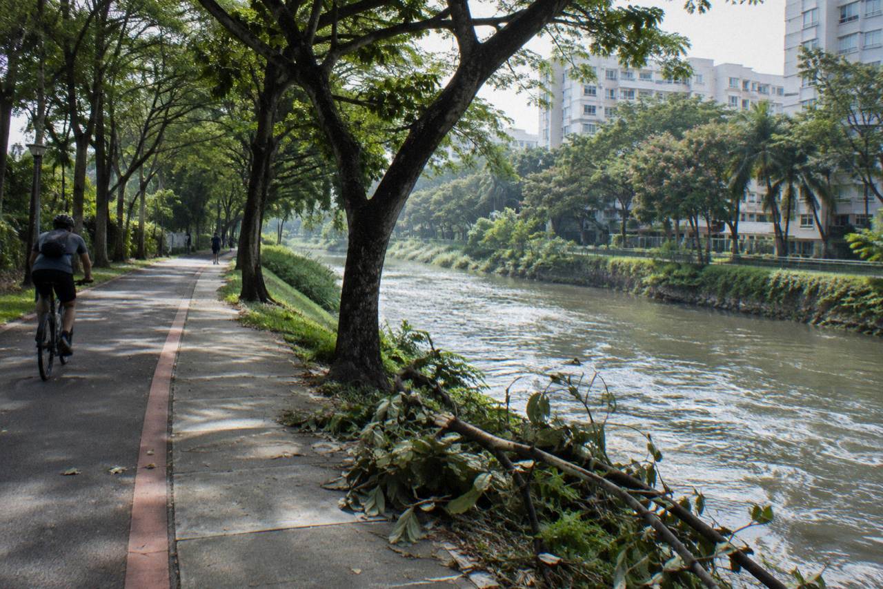
The shared path is the workhorse of the network. Red continuous lines flank it, the cyclist and pedestrian logos share its signage, and 25 km/h is the ceiling. That ceiling is a real legal limit, not a suggestion, and LTA's Active Mobility rules and code of conduct set it out alongside the road rules. On paper 25 km/h sounds slow for a fit rider; in practice, with pedestrians, joggers and fishing rods strung across the path, it is rarely the constraint.
Segregated paths split the streams. The footpath side is for pedestrians and mobility-aid users at not more than 10 km/h, and motorised PMDs and power-assisted bicycles are not allowed on it at all. The cycling path beside it is marked with red lines and "PCN" imprints or cyclist icons. Segregation is a big change from a decade ago, and it is expanding: since 2022 NParks has been piloting a revised typology that segregates stretches of Tanjong Rhu, Gardens by the Bay, Marina Barrage, the Singapore River Promenade and Punggol into pedestrian-only and shared paths.
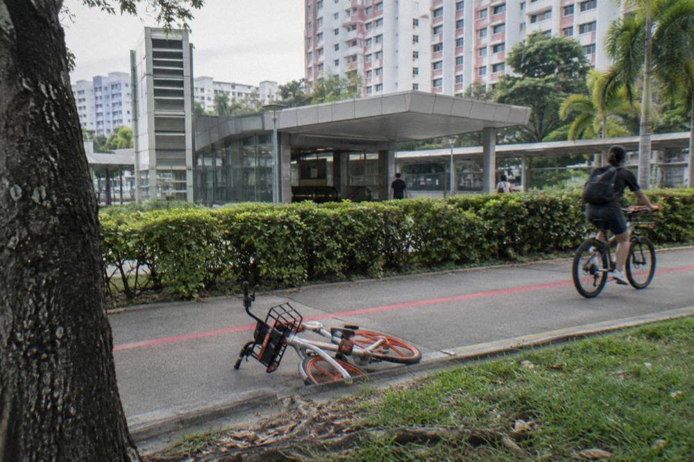
Attention Zones are where the red line turns to dots. They sit at bus stops, crossings, fitness corners, playgrounds, toilets and plazas, and the etiquette is unambiguous: look out, give way, slow down, keep left. NParks' connector etiquette guidance makes the same points the signs do.
Park Connector Network: Key Numbers
Network size, speed limits and guided tour prices at a glance
- over 350 kmTotal network length
- 25 km/hShared and cycling path speed limit
- 10 km/hFootpath speed limit
- $84.045-Hour Nature Ride, per person
- $47River Route via F1 Track, per person
- 36 kmCentral Urban Loop length
The Pedestrian-Only Path deserves its own paragraph because it is new and easy to miss. From 1 July 2025, footpaths next to dedicated cycling paths were converted to Pedestrian-Only Paths, marked with pedestrian logos and "Pedestrians-Only" wording, and bicycles and non-motorised PMDs are no longer allowed on them. Over 200 km of footpaths across Tampines, Punggol, Sengkang, Yishun, Clementi and elsewhere are affected. Enforcement by LTA officers began the same day, and first offences carry penalties of up to $2,000 and/or up to three months for this specific offence. Standalone footpaths and ordinary shared paths are not affected. The practical rule for a visitor: beside a cycling path, the adjacent footpath is now likely pedestrian-only, so ride the cycling path.
Where Is Cycling Not Allowed Along The Network?
Cycling is barred outright from the four gazetted nature reserves, the Singapore Botanic Gardens, Henderson Waves bridge, the Forest Walk and several elevated and mangrove boardwalks, plus converted Pedestrian-Only Paths. On Pulau Ubin a section of the Chek Jawa Coastal Loop boardwalk is closed for maintenance from 15 September 2026. The list is published by NParks and is short enough to memorise.
The headline exclusions in the city are the green jewels. Bukit Timah Nature Reserve, the Central Catchment, Sungei Buloh Wetland Reserve and Labrador are all closed to bicycles, as is the Singapore Botanic Gardens except for one designated east-west path. Southern Rides riders will want the specifics: Henderson Waves and the Forest Walk at Telok Blangah Hill Park are no-ride, which shapes how a southern loop works, covered in full on the Southern Ridges cycling page.
Boardwalks are the other big category. The mangrove boardwalks at Pasir Ris Park, the Marsh Garden boardwalk at West Coast Park, the Coney Island boardwalk, selected boardwalks at Changi Beach Park and the Canopy Walk at Kent Ridge Park are all closed to cycling. None of these are connector paths in the ordinary sense, but several sit directly on loops you might otherwise ride through.
| No-ride location | What it is | Typical constraint |
|---|---|---|
| Bukit Timah Nature Reserve | Gazetted reserve | No bicycles at all |
| Central Catchment Forest | Gazetted reserve | No bicycles at all |
| Sungei Buloh Wetland Reserve | Gazetted wetland | No bicycles at all |
| Labrador Nature Reserve | Gazetted reserve | No bicycles at all |
| Singapore Botanic Gardens | UNESCO site gardens | One east-west path excepted |
| Henderson Waves | Elevated pedestrian bridge | Dismount not permitted, no cycling |
| Forest Walk, Telok Blangah Hill | Elevated walkway | No cycling |
| Pasir Ris mangrove boardwalk | Boardwalk | No cycling |
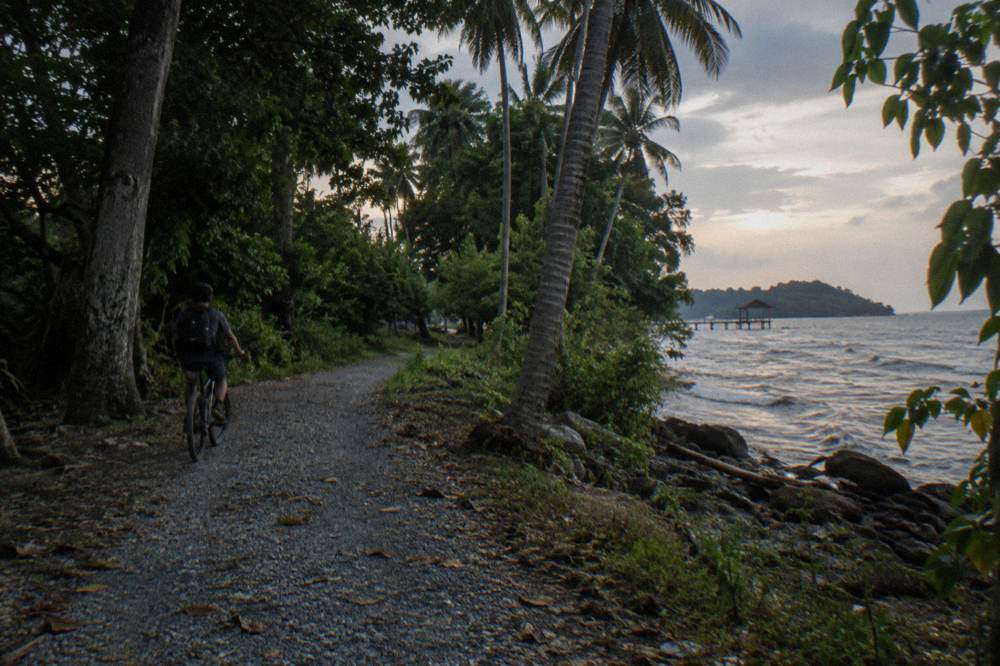
On Pulau Ubin the network's rules meet the island's own notices. NParks' cycling guidance for Ubin recommends renting or bringing a helmet, and signs tell riders to dismount and push on steeper slopes. The current notices include a Coastal Loop boardwalk section at Chek Jawa closed for maintenance from 15 September 2026 with completion expected 30 April 2027, and the Chek Jawa Wetlands Tour suspended. Guided Ubin rides here start from the Changi Point Ferry Terminal or the operator's island meeting point, and none of them enters the closed boardwalk section. The Pulau Ubin cycling guide covers the island's routes and ferry logistics.
What Rules Apply To Cyclists On The Connectors In Singapore?
On shared and cycling paths the limit is 25 km/h; on footpaths, 10 km/h; and on Pedestrian-Only Paths, no bicycles at all. Helmets are mandatory on roads but advised on connectors, lights are required after dark, phones in hand are prohibited while riding, and since 1 June 2026 motorised mobility aids are capped at 6 km/h on paths. Etiquette mirrors the law: keep left, give way, slow at Attention Zones.
The speed architecture comes from the Active Mobility Act. LTA's current "where devices are allowed" guidance, published as a path-type table, lists cycling paths and shared paths at 25 km/h, footpaths at 10 km/h, and roads at the road's own speed limit, with expressways and tunnels excluded. A parliamentary review in October 2025 considered lowering the 25 km/h shared-path figure and did not. The Ministry of Transport's standing reply on that limit calls it a normal cycling speed, and that reasoning is why tours on standard bikes fit it comfortably.
Helmets sit differently depending on where you ride. On roads, a suitable helmet is mandatory for riders and pillions under the Road Traffic (Bicycles) Rules, and traffic police enforcement against non-compliance was stepped up in early 2026. On park connectors NParks advises protective gear rather than mandating it. Tour operators overwhelmingly provide helmets anyway: the Small Group, Max 10 Guests ride from City Scoot includes bike and helmet from $64.03 per person and is rated 4.8 across 74 reviews, and the Full-Sized Bikes, Small Group tour from Lets Go Tour, also from $64.03, includes helmets and is rated 5.0 across 1,559 reviews.
Beyond speed and helmets, the connector-relevant rules are behavioural. No riding with a phone in hand. Stop and look before crossing a road. Dismount and push at "No Riding" signs. Front white and rear red lights after dark. Give way to pedestrians, slow near bus stops and junctions, walk the device in crowds, keep left except to overtake.
| Rule area | What applies on the connectors | Source of the rule |
|---|---|---|
| Shared or cycling path speed | 25 km/h maximum | Active Mobility Regulations |
| Footpath speed | 10 km/h maximum | Active Mobility Regulations |
| Pedestrian-Only Paths | No bicycles from 1 July 2025 | LTA enforcement release |
| Helmet | Mandatory on roads, advised on connectors | Road Traffic rules; NParks guidance |
| Lights | Front white, rear red, after dark | LTA rules of path |
| Phone in hand | Not permitted while riding | LTA rules of path |
| Motorised PMAs | 6 km/h on public paths from 1 June 2026 | 2026 regulations |
Group riding has its own arithmetic if you ever venture onto roads between connectors: maximum five bicycles in single file, ten riding two abreast on multi-lane roads outside bus lane hours, with about 30 m between groups. The Seletar Sunday Cycling Lane, which will extend to 11.2 km by Q1 2027 with works starting November 2026, is the exception where the group limit does not apply. None of this constrains a guided tour, which keeps its numbers small by design.
Weather awareness is part of the rules conversation too, and Singapore's climate makes it so: November is the wettest month on the Changi 1991 to 2020 normals, with a mean 252.3 mm of rain across 19 rain days, and December is wetter still. Operators run rain or shine and hand out ponchos, which is why so many inclusions lists here mention them. The cycling in Singapore in the rain page covers tactics; the short version is that a morning slot beats an afternoon one in the wet season.
- Jan222 mm
- Feb105 mm
- Mar152 mm
- Apr164 mm
- May164 mm
- Jun135 mm
- Jul147 mm
- Aug147 mm
- Sep125 mm
- Oct168 mm
- Nov252 mm
- Dec332 mm
Rain-days run from 8.5 (driest month) to 19.3 (wettest month).
Which Guided Tours Ride The Connector Network?
A good share of Singapore's guided bike tours are connector tours in disguise, using the riverine paths of Punggol, the Marina Bay waterfront and the Eastern Coastal Loop as their route spine. Small-group prices run from $47 per person for the River Route via F1 Track to $96.05 for the Brompton Bike, Coffeeshop Coffee Stop, all on regular bikes with free cancellation per each tour's page. The three rides below are the clearest examples.
The 5-Hour Nature Ride from The Cycle Startup is the fullest expression of it: five hours on the riverside connectors and parkland around Punggol, groups capped at four, from $84.04 per person, rated 5.0 across 37 reviews, meeting at GoCycling @ Punggol Park. Bike, helmet, bandana and bottled water are included, snacks and lunch are not, and a poncho comes if it rains. It is the tour this site features alongside this guide, and the reason is simple: it shows the network doing what it was built for, linking park to park without a road in between. Check availability
The Sunrise Ride, Local Breakfast covers the same northeast corner at the other end of the day. It runs 3 to 4 hours from $48.02 per person, groups max five, meeting at Punggol Field, with breakfast, bottled water, helmet, poncho and a souvenir included. It carries only 3 reviews so far, so the count is what it is, but the format suits the connector network perfectly: early light, empty paths, and a meal at the end of a riverine loop.
- Up to 2 hours4 tours
- 3 to 4 hours17 tours
- 5 to 6 hours1 tour
- 7 hours or more1 tour
The Brompton Bike, Coffeeshop Coffee Stop from 808 Tours takes the network's wilder sibling, the former railway corridor, on a 4-hour ride from $96.05 per person, meeting at King Albert Park, groups max ten, with a licensed guide, coffee or tea, and a Brompton folding bike included, rated by 14 reviewers so far. It is the one tour here where the path itself is the attraction. Check availability
Closer to town, the River Route via F1 Track squeezes the Bay's connectors into two hours from $47 per person, groups max twelve, meeting at City Scoot at Esplanade Mall, reviewed by 14 guests so far, with bike, helmet and bottled water included. And the Small Group, Max 10 Guests tour, the 4-hour city staple from $64.03 rated 4.8 across 74 reviews, spends its river and bay stretches on connector paths between the heritage stops. Both are covered in detail on the private versus group tour comparison page.
New listings join the network all the time. The Bikeable City Ride from LC Travel Planners, from $64.03 per person for 4 hours with a licensed guide, helmet and full-sized bike, groups max fifteen, has no reviews yet, and the Ubin Heritage Ride from Wanderlust Ventures, from $195 per person with return bumboat transport and a local meal, is likewise new. Neither can be rated yet, and neither should be overlooked for that reason.
When Is The Best Time Of Year To Ride The Connectors?
Any month works, but the dry window from February to May is the most reliable: February averages just 8.5 rain days and 7 hours of sunshine a day against November's 19 rain days, on the Meteorological Service Singapore 1991 to 2020 Changi normals. The November to January Northeast Monsoon is the wettest stretch, so book morning slots and keep the free cancellation rather than gambling on an afternoon.
The climate case is laid out fully on the best time to cycle in Singapore page, but the connector-specific reading is this: the network is mostly unshaded canal-side path, so heat matters as much as rain. May is the hottest month on the normals at a 24-hour mean of 28.6 C, while December and January are the coolest at 26.8 C, which is the trade-off in miniature: cool months are wet months.
| Period | Mean rainfall | Rain days per month | Sunshine hours per day | Connector reading |
|---|---|---|---|---|
| February | 105.1 mm | 8.5 | 7.0 | Driest, best all-round riding |
| March to May | 151.7 to 164.3 mm | 12 to 15 | 6.0 to 6.3 | Hot but dry, ride early |
| June to September | 124.9 to 146.9 mm | 12.5 to 13.8 | 5.4 to 6.1 | Southwest Monsoon, haze possible |
| November | 252.3 mm | 19.0 | 4.4 | Wettest, book mornings |
| December | 331.9 mm | 19.3 | 4.3 | Wettest, coolest |
Two seasonal notes deserve the "reported" treatment rather than fact status. Heat advisories in late October and early November 2026 put daily maxima in the 33 to 35 C range, occasionally higher. Haze in the Southwest Monsoon months is a known pattern on the climate record, and the current outlook put the PSI in the moderate band, but transboundary smoke varies year to year and cannot be promised or excluded. Neither stops a tour; both argue for the operators' built-in water stops and ponchos.
Night is a season of its own on the Bay connectors. The Marina Bay Night Ride from Lets Go Tour runs 2 hours from $48.02 per person, groups max fifteen, rated 4.9 across 598 reviews, with bike, helmet, water and poncho included, and the Singapore night cycling page covers the after-dark scene. On the connectors at night the light rule is the one that matters, front white and rear red.
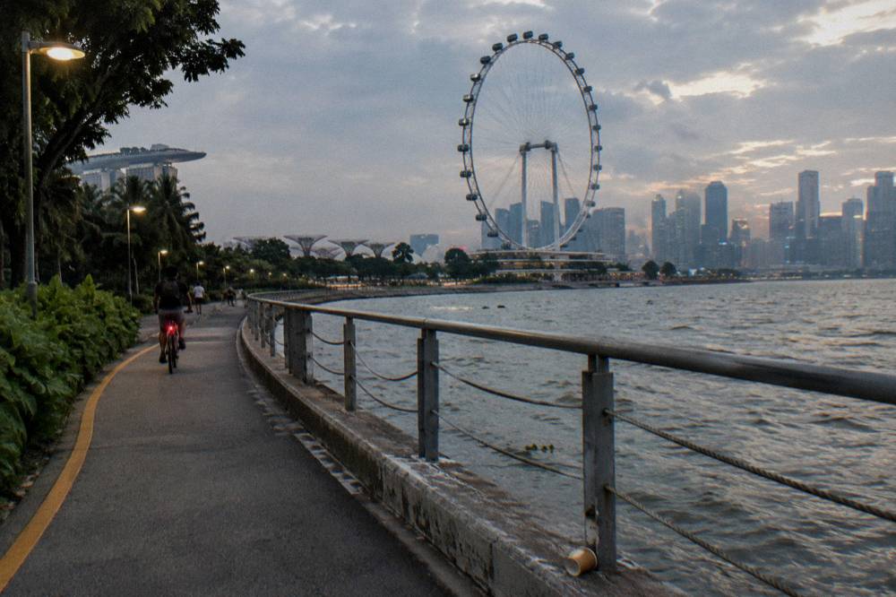
The last planning variable is school holidays, since connectors fill with families on weekends. The year-end school holidays run from late November 2026 into the new year, and Deepavali fell on 8 November 2026 with the public holiday observed on the 9th, which typically lifts park traffic around Little India's connectors in the days before. A weekday morning ride is the quiet version of any of these routes.
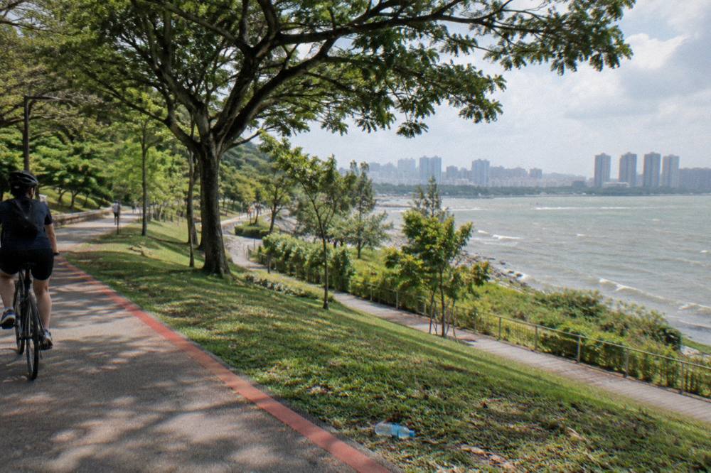
The network rewards a little homework and then stops asking anything of you. Read the red lines, respect the two speed numbers and the 2025 path conversions, carry water, and pick a loop that matches your morning. Or let a guide do it: every ride listed here is a connector regular.
Common Questions About The Park Connector Network In Singapore
Park Connector Map Singapore: How To Read It Before You Ride?
Start with the loop you want, Eastern Coastal, Central Urban, North Eastern Riverine or the Kallang corridor, then check NParks' connector pages or the MyTransport.SG cycling-route layer for closures. On the ground, a continuous red line means a cycling or shared path at up to 25 km/h, a dotted red line means an Attention Zone where you slow and give way, and a red line with "PCN" imprints means a segregated cycling path with a pedestrian footpath beside it.
How Long Is The Singapore Park Connector Network?
NParks puts the network at over 350 km of park connectors linking parks, rivers and coasts island-wide. It feeds into the planned 150 km Round Island Route, of which the 75 km eastern Phase 1 is open, itself part of a longer-term 360 km island-wide recreational route network.
What Is The Speed Limit On Park Connector Paths?
Cycling paths and shared paths carry a 25 km/h maximum, footpaths 10 km/h, and motorised mobility aids 6 km/h on public paths since 1 June 2026. Roads follow their own posted limits, and expressways and tunnels are closed to bicycles entirely. A 2025 parliamentary review considered lowering the 25 km/h shared-path figure and did not.
Where Can You Not Cycle In Singapore?
The four gazetted nature reserves, the Singapore Botanic Gardens apart from one designated path, Henderson Waves, the Forest Walk at Telok Blangah Hill Park, the Canopy Walk at Kent Ridge Park, mangrove boardwalks at Pasir Ris Park, the Coney Island boardwalk, selected Changi Beach Park boardwalks and, since 1 July 2025, converted Pedestrian-Only Paths beside cycling paths. Jurong Lake Gardens allows cycling on one east-west path only.
Are Bicycles Allowed On Footpaths In Singapore?
Only on standalone footpaths and shared paths. Since 1 July 2025, footpaths beside dedicated cycling paths have been converted to Pedestrian-Only Paths where bicycles are prohibited, with first offences carrying up to $2,000 and/or three months. The conversion covers over 200 km of footpaths in areas including Tampines, Punggol, Sengkang and Yishun.
Which Tours Ride The Connectors?
The clearest examples are the 5-Hour Nature Ride from $84.04 per person on the Punggol riverine paths, the Sunrise Ride, Local Breakfast from $48.02 covering the same corner at dawn, and the River Route via F1 Track from $47 per person along the Bay's waterfront paths. All three use regular bikes, include the bike, and offer free cancellation per each tour's page.