Cycling The Southern Ridges: What Is Rideable And What Is Not
The Southern Ridges is one of the most photographed green corridors in Singapore, but a large part of its appeal sits on elevated walkways where bicycles are banned. Here is what a cyclist can legally ride, what must stay on foot, and how to build a route around the closed sections.
Short answer
Bicycles are banned on the Henderson Wave Bridge, the Forest Walk at Telok Blangah Hill Park and the Canopy Walk at Kent Ridge Park. Shared paths around the ridges carry a 25 km/h limit and footpaths 10 km/h. Rideable detours include the Round Island Route, whose 75 km first phase skirts the eastern half of the island.
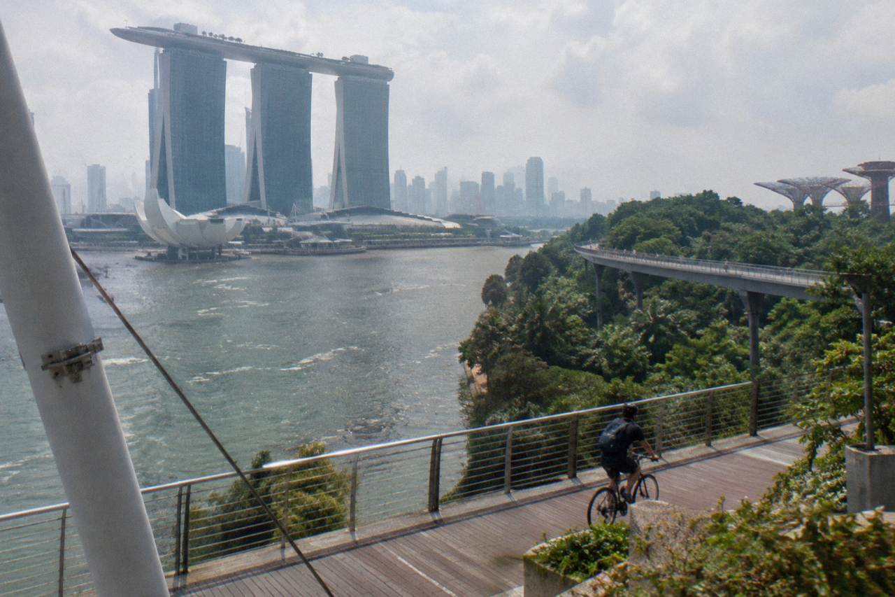
The Southern Ridges is the chain of hillside green that runs from Mount Faber through Telok Blangah Hill, HortPark and Kent Ridge toward Labrador, and its signature structures, the wave-shaped bridge and the elevated steel walkways, are exactly the parts a bicycle cannot touch. That tension is the whole story of cycling here. The parks themselves are laced with shared paths and park connectors that welcome riders, but the famous elevated sections are pedestrian infrastructure, and NParks lists them plainly among the places where cycling is not allowed.
Anyone planning a ride around the area needs two maps in their head: one of what is open to wheels, and one of what is closed. The good news is that the closed list is short, specific and well signposted, and everything else around the ridges, including the wider network of connectors it plugs into, is rideable under ordinary path rules. For riders who would rather not piece that puzzle together alone, a guided option such as the 5-Hour Nature Ride from The Cycle Startup, from $84.04 per person and rated 5.0 across 37 reviews, covers similar green terrain with a guide who knows which paths take a bike.
Is Cycling Allowed Along The Southern Ridges Walk?
No, not along the elevated walkway itself. NParks lists the Henderson Wave Bridge, the Forest Walk at Telok Blangah Hill Park and the Canopy Walk at Kent Ridge Park among the places where cycling is not allowed. Bikes are welcome in the parks and on the shared paths around them, which means a Southern Ridges ride is possible, but it runs around the walkway network rather than along it.
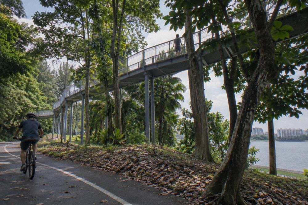
The distinction matters because the marketing images of the area are almost all taken from the elevated sections. Visitors arrive expecting to roll from Mount Faber to Kent Ridge on a continuous canopy-level path, and that does not exist for bicycles. The walkways are narrow, raised on stilts in places and built for foot traffic, so NParks keeps them pedestrian-only and the signage at each access point says so. A rider who dismounts and pushes can still experience them, and honestly that is the right way to see the Forest Walk anyway, since the point of it is the slow, close-up view of the canopy.
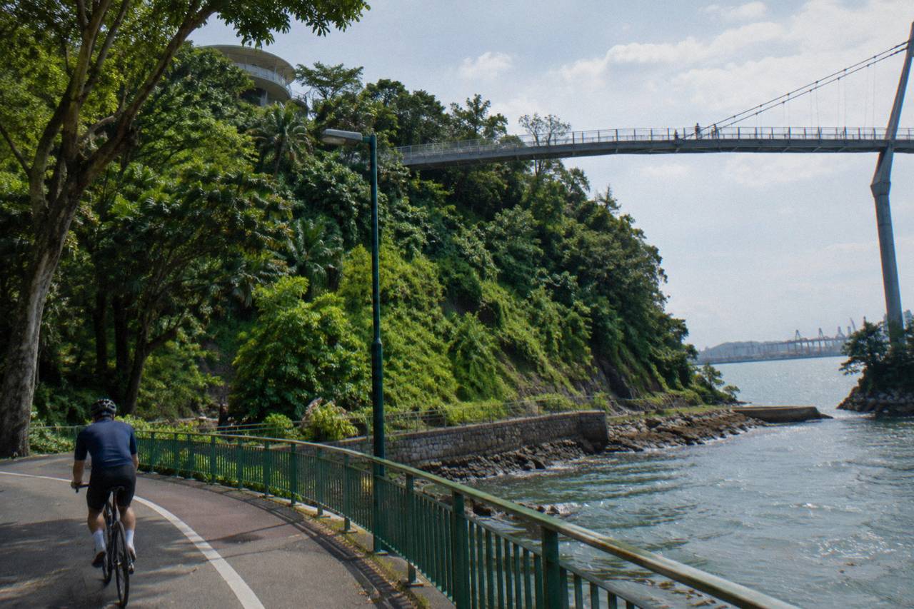
What the area does offer cyclists is genuine. The roads and shared paths around Mount Faber, the connectors linking HortPark to the wider network and the stretches of green between the ridge parks are all rideable, and they connect, via the park connector system, to places as far flung as the eastern coast. The Round Island Route, a planned continuous 150 km connector of which the 75 km first phase runs through the eastern half of the island, is part of that same web. Riders who want the full picture of which long routes stitch together should read the Singapore cycling routes guide alongside this page.
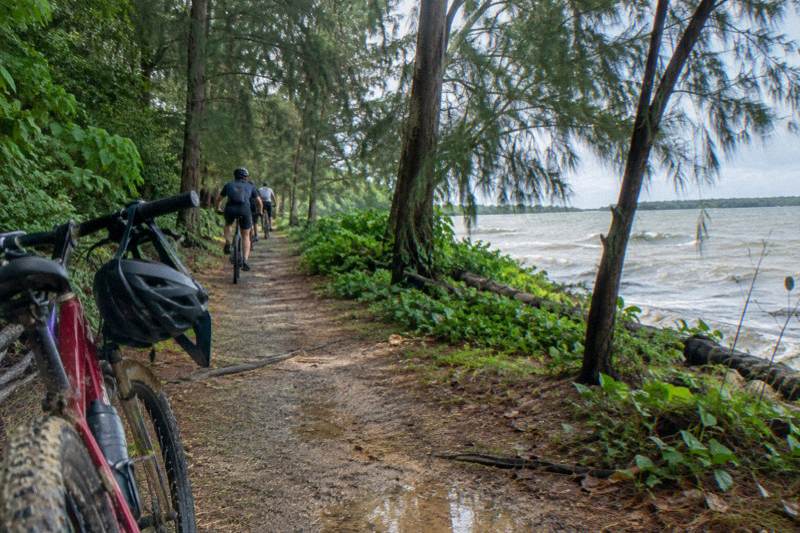
One thing worth setting expectations on: the terrain. Mount Faber sits on a hill, and the surrounding parks roll more than most of flat Singapore. Riders on a regular bike should expect short climbs, and the payoff is that the area feels closer to a forest trail ride than a city cruise. The site behind this article, Singapore Bike Tours, exists precisely because the rideable-versus-walkable question comes up in every part of this island, and the southern hills are where it bites hardest.
Which Southern Ridges Structures Ban Bicycles?
Three named structures in the Southern Ridges are closed to cycling: the Henderson Wave Bridge, the Forest Walk at Telok Blangah Hill Park and the Canopy Walk at Kent Ridge Park. NParks also bars bikes from the gazetted nature reserves, and Labrador Nature Reserve sits at the southern end of the ridge chain. Everything else in and around the parks remains open to riders under standard path rules.
The banned list is not a judgment call, it is published policy. NParks maintains a page on cycling and inline skating that names the no-ride venues across the island, and the Southern Ridges entries on it are the elevated structures just mentioned. The reason is consistent everywhere: boardwalks and elevated spans are built light, with mesh and grating that take foot traffic but not wheel loads, and mixing bikes with pedestrians on them would be unsafe at any speed. The same policy closes the Henderson Wave Bridge regardless of how quiet a morning it is.
| Structure or area | Status for bicycles | Notes |
|---|---|---|
| Henderson Wave Bridge | Not allowed | Pedestrian bridge; walk the bike across or use road-level alternatives |
| Forest Walk, Telok Blangah Hill Park | Not allowed | Elevated steel walkway through the canopy |
| Canopy Walk, Kent Ridge Park | Not allowed | Raised boardwalk over secondary forest |
| Labrador Nature Reserve | Not allowed | One of the four gazetted nature reserves |
| Shared paths between the ridge parks | Allowed, 25 km/h | Marked with shared-path signage |
| Park roads around Mount Faber | Allowed | Helmet legally required on roads |
Note the last row. The distinction between paths and roads carries legal weight. On shared paths and cycling paths the limit is 25 km/h and a helmet is advisory, while on any road a helmet is mandatory for riders. NParks advises protective gear on the connectors too, and several of the guided options covered later in this article include one, which removes the question for the rider. The rules are set out in LTA's code of conduct, which also covers lights at night, dismount signs and group riding.
For a rider staring at the map, the practical read is this: the ridge spine is walkable, not rideable, but it is flanked by rideable ground on both sides. The detours add distance rather than difficulty, and there is a decent argument that the road-level ride around the hills, past the cable car station at Mount Faber and down toward the harbour, is a better bike route than the walkway would be anyway.
That is also why a guided format works so well here. The trio of rides below all cover terrain where the path rules do the deciding, and all three run with bikes included and free cancellation per the listing.
What Are The Path Rules For Cyclists In Singapore?
The limits are simple: 25 km/h on cycling paths and shared paths, 10 km/h on footpaths, and no bicycles at all on paths converted to Pedestrian-Only Paths since 1 July 2025. On roads, ride with traffic, keep left and wear a helmet, which is mandatory. First offences for riding on a Pedestrian-Only Path can draw up to $2,000 and/or three months.
The Pedestrian-Only Path category deserves a paragraph because it changed the island's riding geography. Since 1 July 2025, footpaths that sit beside dedicated cycling paths have been converted to Pedestrian-Only Paths, marked with pedestrian signage, and bicycles and non-motorised PMDs are no longer allowed on them. Standalone footpaths and shared paths are unaffected. Enforcement began the same day, and LTA's release on the change states the first-offence penalty plainly: up to $2,000 and/or up to three months, though officers take what the authority calls a measured and considered approach. The enforcement announcement is worth reading before any self-guided ride.
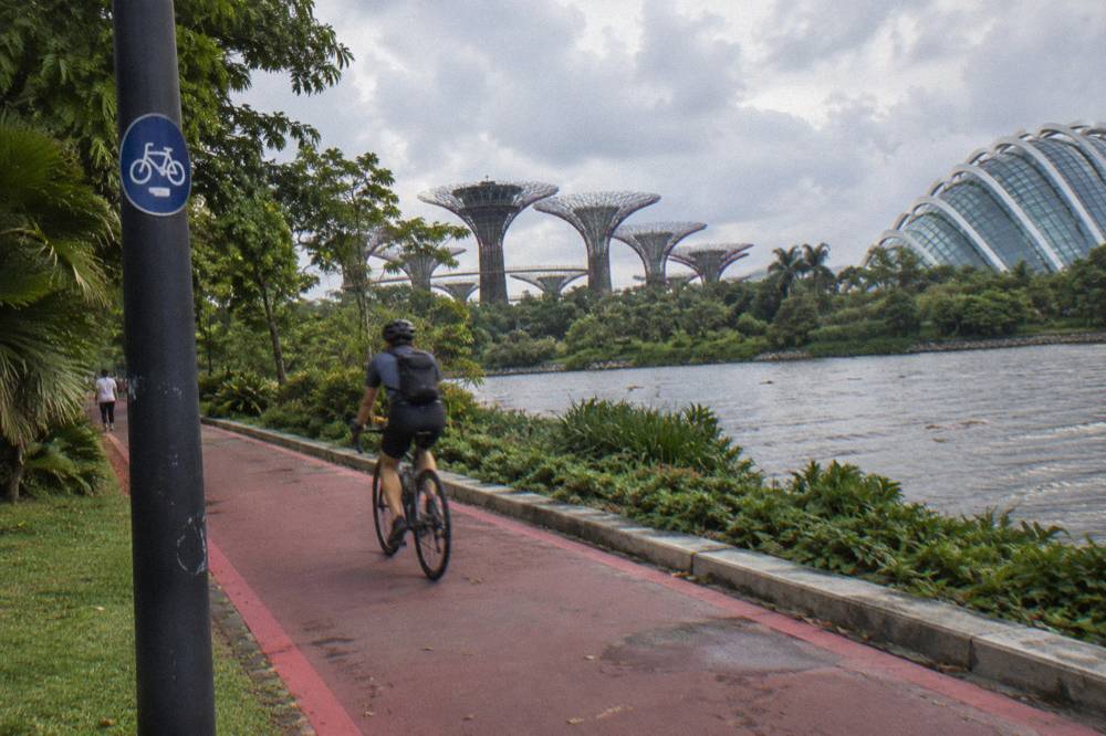
Speed limits follow the path type rather than the park. A cycling path, typically surfaced dark with a cyclist logo, allows 25 km/h. A shared path, marked with both cyclist and pedestrian logos, carries the same 25. Footpaths without markings are 10 km/h, and on Pedestrian-Only Paths a bicycle has no limit because it has no permission. LTA publishes the full breakdown in its where-devices-are-allowed guide, and the numbers are summarised below.
| Path type | Marking | Bicycle speed limit |
|---|---|---|
| Cycling path | Cyclist logo, red or dark surface | 25 km/h |
| Shared path | Cyclist and pedestrian logos | 25 km/h |
| Footpath | Unmarked path beside roads | 10 km/h |
| Pedestrian-Only Path | Beside a cycling path, pedestrian signage | Bicycles not allowed |
| Road | Excludes expressways and tunnels | Road speed limit, helmet mandatory |
Etiquette overlays the law. NParks' guidance for the park connectors asks riders to keep left except when overtaking, give way to pedestrians, slow down in the red-dotted attention zones at bus stops, crossings, playgrounds and fitness corners, and walk the device in crowded areas. The full etiquette is on the NParks park connector etiquette page. On the Southern Ridges specifically, attention zones cluster around the lookout points and the access ramps, precisely where foot traffic concentrates, so a rider threading the area should treat every viewpoint approach as a slow zone.
One more rule with teeth: groups on roads. A riding group is limited to five bicycles in single file, or ten riding two abreast where conditions allow, with roughly 30 metres of space kept between groups. The guided options later in this article mostly cap well below that, which is one quiet argument for them: the guide absorbs the compliance burden.
For riders who would rather hand that over, here is the format question worth asking.
Where Can You Ride Instead Around The Southern Ridges?
The rideable network around the ridges includes the shared paths inside the ridge parks, the wider park connector system of over 350 km, and the 75 km first phase of the Round Island Route along the eastern half of the island. The Rail Corridor South is partly closed for trail works, with completion expected 31 July 2027. Treat the ridge spine as a walking highlight and the surrounding connectors as the riding.
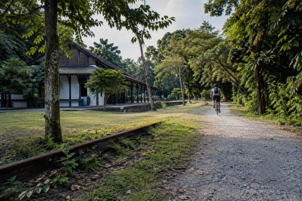
The Rail Corridor is the natural companion to the Southern Ridges because it shares the same geography, a disused rail line turned green corridor running down the west side of the island. NParks notices list the southern stretch from Henderson Road to Spooner Road as closed for Phase 2 trail improvement works until the expected completion date of 31 July 2027, with alternative routes signposted; check current NParks notices before you ride. The phase above it, from Jalan Kilang Barat to Henderson Road, reopened early on 2 March 2026. A rider linking the ridges to the corridor should check the current notices before setting out, because the closure line has been moving.
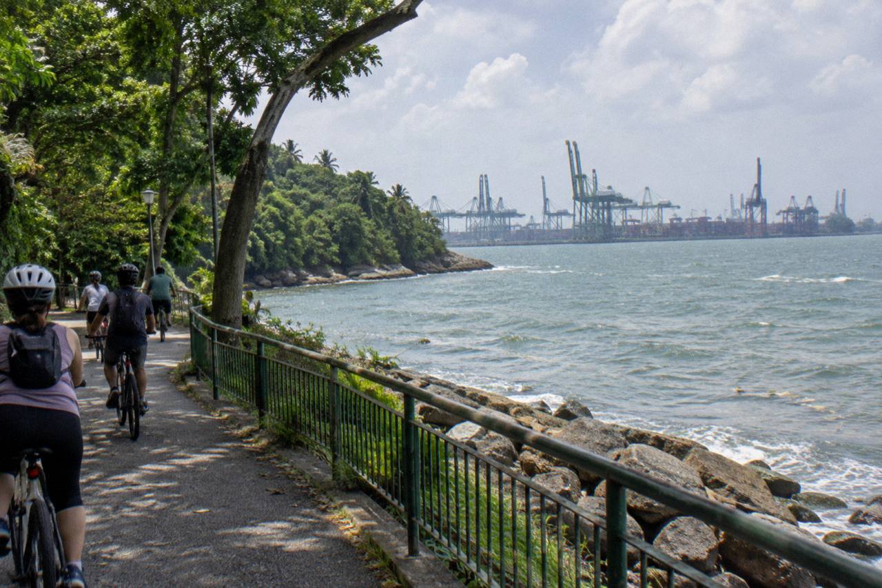
The Round Island Route is the other big piece. Its first phase, opened in January 2022, runs 75 km from Rower's Bay in the north-east down through the eastern parks to Berlayer Creek in the south, which is close enough to the ridges to make a combined day feasible for strong riders. It is itself part of a planned 360 km island-wide recreational network. Riders building on it rather than around it should start with the Round Island Route guide, which covers the access points.
| Route option around the ridges | Character | Status |
|---|---|---|
| Shared paths within the ridge parks | Short rolling loops, lookout points | Open, 25 km/h limit |
| Park connector network island-wide | Over 350 km of linked green paths | Open, some localised closures |
| Round Island Route, Phase 1 | 75 km, eastern half of the island | Open to bicycles on marked tracks |
| Rail Corridor (South) | Former rail line, unpaved trail | Henderson Road to Spooner Road closed for works |
| Road-level routes around Mount Faber | Hills, harbour views | Open, helmet mandatory |
For a shorter southern flavour, the river and bay routes work as a contrast to the hills. City Scoot's River Route via F1 Track, a 2-hour ride from $47 per person with 14 reviews so far, threads the Singapore River and Marina Bay on flat ground, and it makes a natural pairing with a morning spent walking the ridge canopy on foot. The Marina Bay cycling guide covers that terrain in depth for anyone weighing the two halves of a day.
Riders who want green without the hills have options too. The park connector system links parks, rivers and nature areas island-wide, and the eastern loops in particular are built for relaxed mileage. Whatever the choice, the planning rule is the same: put the walking highlights on the walking half of the day and let the bike earn its distance on the paths that were built for it.
When Is The Best Time To Ride The Southern Ridges?
The dry window is late February through April, with February the driest month on the Changi normals. November to January is the wettest stretch, with December averaging 331.9 mm across 19.3 rain days. Daily maxima sit in the low thirties year round, May being the hottest at a 24-hour mean of 28.6 degrees. Early morning rides dodge both heat and the afternoon showers.
The numbers come from the Meteorological Service Singapore 1991 to 2020 normals for Changi, and they shape the year more than most visitors expect. The Northeast Monsoon runs from December to early March, and its wettest phase lands squarely on November to January, when rain days approach 19 a month and sunshine drops to barely 4.4 hours a day. The first inter-monsoon from late March to May is drier and hotter. The Southwest Monsoon from June to September brings slightly less rain, and haze is common in those months when winds are light.
| Month | Mean temp C | Rainfall mm | Rain days | Sunshine h/day |
|---|---|---|---|---|
| Jan | 26.8 | 221.6 | 13.4 | 5.8 |
| Feb | 27.3 | 105.1 | 8.5 | 7.0 |
| Mar | 27.8 | 151.7 | 12.1 | 6.3 |
| Apr | 28.2 | 164.3 | 14.9 | 6.1 |
| May | 28.6 | 164.3 | 14.5 | 6.0 |
| Jun | 28.5 | 135.3 | 13.2 | 5.8 |
| Jul | 28.2 | 146.6 | 13.6 | 6.1 |
| Aug | 28.1 | 146.9 | 13.8 | 6.0 |
| Sep | 28.0 | 124.9 | 12.5 | 5.4 |
| Oct | 27.9 | 168.3 | 15.0 | 5.0 |
| Nov | 27.2 | 252.3 | 19.0 | 4.4 |
| Dec | 26.8 | 331.9 | 19.3 | 4.3 |
Two practical notes follow from that table. First, rain in Singapore is an afternoon event more often than an all-day one, so a 7 am or 8 am start usually gets two or three dry hours even in the wet season. Second, humidity sits at a mean annual 82 percent, which makes the midday hours on the exposed ridge paths feel far hotter than the thermometer suggests. Water, a hat and a start before the sun gets high are worth more than any forecast app.
The guided market has answered that same logic. The Sunrise Ride with Local Breakfast from Punggol Sunrise Ride runs 3 to 4 hours from first light, from $48.02 per person, with 3 reviews so far and breakfast, helmet and bottled water included, capped at five riders. It starts at Punggol Field in the north-east rather than at the ridges, but the early-start template is exactly the one a southern ride should copy, and the ride doubles as a demonstration that the best light and the coolest air arrive before most tourists are awake.
Which Guided Ride Options Work Around The Southern Ridges?
No guided tour rides the elevated walkways, because they are closed to bicycles. The guided alternatives cluster around the same green-and-water character: the 5-Hour Nature Ride from $84.04, the 3 to 4 hour Sunrise Ride from $48.02, and the 2 hour River Route via F1 Track from $47. All three run on regular bikes with a guide, and all three carry free cancellation per the listing. Longer private formats sit above them in price.
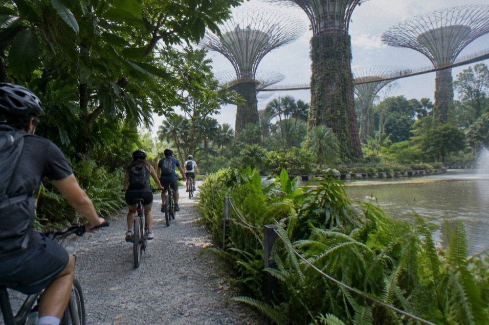
The nature-side flagship is the 5-Hour Nature Ride from The Cycle Startup, rated 5.0 across 37 reviews, which starts at GoCycling @ Punggol Park and runs with a maximum of four riders, helmet, bottled water and a bandana included. Five hours on a regular bike in Singapore heat is a real commitment, and the small cap is the tour's whole pitch: it rides at conversation pace through green corridors that a 15-person group would overwhelm. Snacks, insurance and lunch are not included, so riders should carry their own.
| Guided ride | Duration | From, per person | Reviews | Group cap |
|---|---|---|---|---|
| 5-Hour Nature Ride | 5 hours | $84.04 | 5.0 across 37 | 4 |
| Sunrise Ride, Local Breakfast | 3 to 4 hours | $48.02 | 3 reviews | 5 |
| River Route via F1 Track | 2 hours | $47 | 14 reviews | 12 |
| Small Group, Max 10 Guests | 4 hours | $64.03 | 4.8 across 74 | 10 |
| Marina Bay Night Ride | 2 hours | $48.02 | 4.9 across 598 | 15 |
| Full-Day Private Ride, Food Included | 7 to 8 hours | $224.11 | 9 reviews | Private |
Two of those rows deserve a closer look for a Southern Ridges plan. The Marina Bay Night Ride from Lets Go Tour Singapore, rated 4.9 across 598 reviews and from $48.02 per person with the total depending on group size, flips the timing question on its head: instead of riding before the heat, it rides after dark, when the bay skyline does the work. And the Small Group, Max 10 Guests city ride from City Scoot, 4 hours from $64.03 and rated 4.8 across 74 reviews, includes bottled water, a raincoat and bag storage, which covers the practical worries the weather table above raises.
The Full-Day Private Ride row is the ceiling of the market: 7 to 8 hours from Singapore City Explorers, from $224.11 per person, private, with food tasting, lunch, guide, helmet and bottled water included, gathering 9 reviews so far. It is the option for a rider who wants the whole island story in one day rather than the southern hills alone, and its price basis is per person with the total depending on group size, so the booking page is where the real figure lives.
- Small group13 of 23
- Private5 of 23
- Group type not stated5 of 23
The 5-Hour Nature Ride is the one this site points most readers toward for this itinerary, because it matches what the ridges promise: unhurried green, a guide who knows the path rules and a small enough group to actually stop at lookouts. It runs from $84.04 per person, and the listing carries free cancellation.
How Do You Build A Legal Southern Ridges Route Yourself?
Pick road-level and shared-path connectors around the ridge spine, walk the bike onto the Henderson Wave and the two elevated walks, and treat Labrador as foot-only. Check the Rail Corridor closure line before riding south of the ridge parks. Carry water, ride before 10 am or after 6 pm, and keep to 25 km/h on shared paths, dismounting wherever a sign says so.
- Up to 2 hours4 tours
- 3 to 4 hours17 tours
- 5 to 6 hours1 tour
- 7 hours or more1 tour
A workable shape for a half day: start at Mount Faber and ride the park roads and shared paths on the HarbourFront side, dismount and walk the wave bridge for the view, then descend to road level and follow the connectors west. HortPark makes a natural midway stop, and Kent Ridge's shared paths connect onward, with the Canopy Walk walked rather than ridden. Riders going full distance link to the Rail Corridor north of Henderson Road, where the trail is open, or swing east toward the bay routes covered earlier. Riders unsure of the connector maze can start from the park connector network guide and lift the relevant loops from it.
| What you bring or check | Why it matters here |
|---|---|
| Helmet | Mandatory on roads around Mount Faber; advised on the connectors |
| Water | Mean humidity 82 percent, exposed stretches between parks |
| Poncho or rain shell | Afternoon showers arrive fast in any month |
| Lights, front white and rear red | Legally required after dark on paths and roads |
| Current closure notices | Rail Corridor South works until 31 July 2027 |
| A plan for the walkways | Dismount and push across the bridge and elevated walks |
The self-guided version is entirely doable, and plenty of locals ride it weekly. What it demands is comfort with the rules: knowing which red lines mean shared, which signs mean dismount, and which stretches flip from path to road, where the helmet law switches on. A rider who has internalised the tables above already has most of it. A rider who has not will spend the day second-guessing surfaces, and that is the honest case for putting the first southern ride in a guide's hands.
Common Questions About Cycling The Southern Ridges
Is Cycling Allowed Along The Southern Ridges Walk?
No. The elevated walkway sections, including the Henderson Wave Bridge, the Forest Walk at Telok Blangah Hill Park and the Canopy Walk at Kent Ridge Park, are closed to bicycles under NParks policy. Bikes are welcome on the shared paths and connectors around the ridge parks.
Can You Cycle Across The Henderson Wave Bridge?
No. The bridge is pedestrian infrastructure and is listed among the places where cycling is not allowed. A rider can dismount and push the bike across, or take a road-level alternative around the valley.
What Is The Speed Limit For Cyclists On Singapore Shared Paths?
The limit is 25 km/h on cycling paths and shared paths, and 10 km/h on footpaths. On Pedestrian-Only Paths, footpaths beside dedicated cycling paths converted since 1 July 2025, bicycles are not allowed at all, and first offences can draw up to $2,000 and/or three months.
Do You Have To Wear A Helmet When Cycling In Singapore?
On roads it is mandatory for bicycle riders. On shared paths and park connectors it is advisory, with NParks recommending protective gear. Many guided tours include a helmet in the price, which removes the question.
Is The Rail Corridor Open For Cycling Near The Southern Ridges?
Partly. NParks notices list the southern section from Henderson Road to Spooner Road as closed for trail improvement works until an expected completion on 31 July 2027, with alternative routes signposted; riders should check current NParks notices before setting out. The stretch from Jalan Kilang Barat to Henderson Road reopened on 2 March 2026.
Which Guided Ride Is Closest To The Southern Ridges Experience?
No guided tour rides the elevated walkways, since they are closed to bikes. The 5-Hour Nature Ride from The Cycle Startup, from $84.04 per person and rated 5.0 across 37 reviews with a maximum of four riders, is the closest match in character: slow green riding with a guide who knows the path rules.